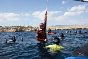
If you want to find the best freediving locations you will need to do some research. Here you can read how to use bathymetrical maps and terrain maps in order to find the best freediving sites.
Maps for finding freediving sites
The best freediving locations have steep topography (in my opinion), and are called walls. The local geology usually has a large impact on where these walls are found. Around BC, Canada, the steepest walls may be found in fjords for example. The big mammals are commonly near open and deep water, and most life is found near areas with high current (one of the reasons for the abundance of life in the Discovery Passage in BC, Canada). Hence what we are looking for is a steep drop off, high current, and open a connection to open and deeper water.
We can find the locations with Google maps, and bathymetry data. Countries like Canada and the US supply bathymetry data for free. A lot of bathymetry can be found here, but some areas lack detail:
NOAA bathymetry interactive map
For some parts of Canada, you will have to download the data and load it into Google Earth Pro (which is freely available):
GEOgratis bathymetry shapefile
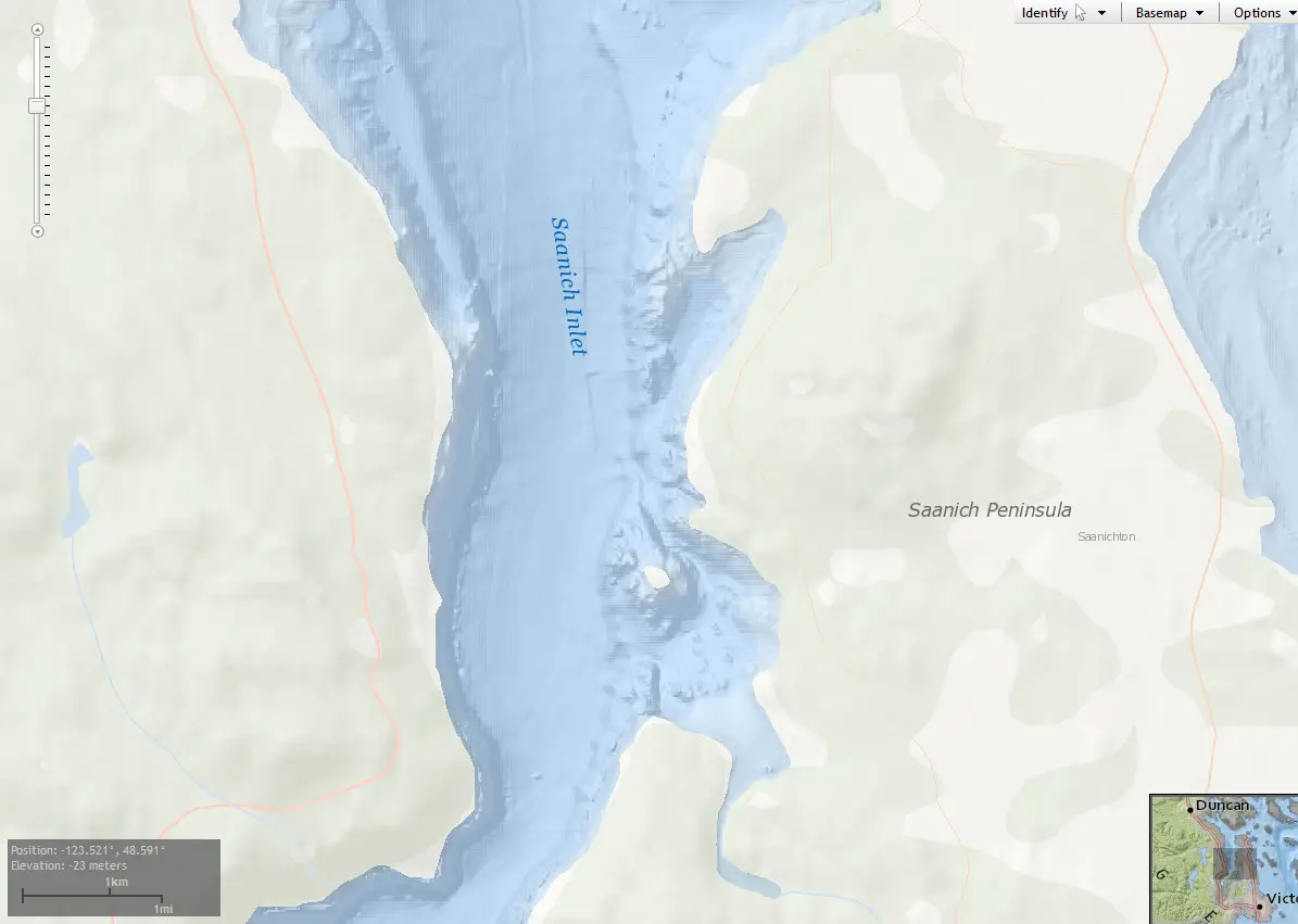
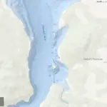
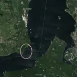
Finding freediving sites in Saanich Inlet
I’ll use an example from Saanich Inlet (a well known diving area in BC) from the NOAA. When we look at the figure below you can see that the Saanich inlet is much steeper on the western side than on the eastern side. Using both Google earth and NOAA data we can see that the access is boat only (unless you want to go bushwacking).
In summary, in order to find the best freediving sites you need to look at bathymetry and access. When you get to the site make sure you check for hazards such as boat traffic, swells and the entry. Make sure to bring a GPS if you think you need it. And let us know what you find!